Copper Harbor, Updated Wayfinding, and the International Trail Rating System (ITRS)
- Nick Ryan
- Dec 4, 2025
- 8 min read

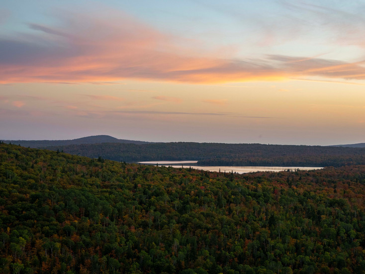
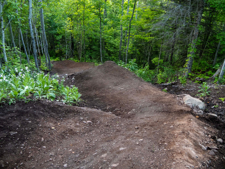
If you rolled through Copper Harbor this season, chances are you felt that familiar blend of rock, flow, and challenge, creating an intense sense of joy, or thrill, or freedom. If you have been paying attention to our trail system you may have noticed that it is our mission to make sure those experiences are continuously evolving and improving. And now, so is the way we talk about our trails.
Late in the 2026 season, Copper Harbor will take a big step:
we’re becoming the FIRST trails system to implement the International Trail Rating System (ITRS) in North America!
This isn’t just a new set of symbols and updated signage. It’s an upgrade in how we help users better understand our terrain, choose appropriate trails, and move through the system with confidence — whether y
ou’re visiting for the first time or just in town for a quick spin.
Why Change the Trail Rating System?
Most riders in North America are familiar with the IMBA trail difficulty system: green circle, blue square, black diamond, double black diamond. It’s simple, recognizable, and it has served mountain biking well for decades.
But mountain biking is still a young sport and has evolved to a point where we feel the need to make a change.
Trail design has advanced, bikes are more capable, features are more complex, and rider expectations to find that perfect experience have grown. The IMBA system, while still useful as a broad guideline, was never designed to describe the variety and nuance found in modern trail systems — especially one as diverse as Copper Harbor.
Anyone who has ridden across regions has likely noticed the inconsistency. A trail rated “blue” in one area can feel very different from a blue elsewhere. That variability makes it harder for riders to make informed decisions, especially when visiting unfamiliar terrain.
The ITRS helps to address that gap, and brings even more to the table.

How the ITRS Communicates Difficulty
One of the major differences with the International Trail Rating System is how it communicates both individual trail, and route ratings. Rather than relying on a single label, the ITRS breaks down the full riding experience into multiple complementary dimensions that describe Technical difficulty, Endurance, Exposure, and Wilderness.
Individual trails receive a technical difficulty and exposure rating while a full route gets the full picture. An example route, let’s use the Keweenaw Point Trail, which has individual sections of trail that receive both the technical difficulty and exposure rating. Then the ITRS also takes into account the Endurance and Wilderness aspects along with the Technical Difficulty and Exposure ratings to provide information on what it takes to complete the full route aka the entirety of the KPT. We’ll dive deeper into that as we continue on, but it’s an important note to know before examining the updated symbols.
The four elements are represented through an updated set of ITRS symbols designed to communicate more than “easy” or “more difficult.” They help riders understand what kind of effort, preparation, and risk a trail or route involves before they drop in.
The graphic below shows how these components combine to form an overall rating. We’ll get into how this applies differently to individual trails versus full routes later in the post.

How the ITRS Is Different
(And Why It’s Better for Riders)
Before we dive deeper into rating routes and trails, lets take a minute to examine the immense amount of measurable criteria that helps the International Trail Rating System determine a technical difficulty rating Every trail is broken down into rideable segments and evaluated using defined thresholds based on two core categories:
Technical Trail Features (TTF): drops, jumps, rock gardens, roots, skinnies, and feature complexity
Intrinsic Trail Features (ITF): max grade, average grade, trail bead width, surface character, corners, obstacles, off camber
These measurements are then combined to determine a clear, standardized difficulty rating and a percentage breakdown of technical factors for each trail. The current IMBA system lumps together all of the TTF’s and obstacles into one category opening the opportunity for subjectivity
Instead of guessing, assuming, or loosely approximating difficulty, riders get a clearer picture of what’s ahead before committing.
A Real Example: On the Edge
But Nick, “how does this info get portrayed where the rider actually receives information?” Well I'm glad you asked, let's look at On the Edge as an example.
Under the traditional IMBA system, On the Edge is rated as a black diamond trail due to the exposure. That communicates that it’s “very difficult,” (IMBA’s rating term for a black diamond) but it doesn’t explain why or what that even means.
With the ITRS, that same trail is evaluated more precisely. On the Edge features multiple sections of up to 100 feet of life threating exposure along the trail. But based on ITF’s and TTF’s the technical difficulty of the combined rated segments comes out as 63% Intermediate and 37% Advanced. Under the ITRS, exposure is measured as its own component, and displayed separately form the trail's technical difficulty rating.
In addition to the overall difficulty symbol, riders would also see a percentage breakdown showing how much of the trail’s challenge comes from exposure versus technical features.
That distinction matters.
A rider comfortable with technical rock features but uneasy with exposure can make a better-informed decision before rolling in. That’s the kind of clarity the ITRS is designed to provide.
See a mock signage example below

This example sign shows the two segments that were rated for On the Edge along with the intersection numbers from the top (32) and bottom (6) of the full trail. Now, since there is life threatening exposure we show where that on the map, display it with the technical difficulty rating and have it signed on the trail. We not only have info on the individual segments displayed but also the total technical difficulty and the percentages of intermediate vs advanced terrain. Ultimately giving the rider the correct amount of information on what to expect on the trail
Why This Matters in Copper Harbor
Copper Harbor is known for its inspiring mix of terrain, creative trail design, and vast range of riding experiences. That variety is part of what makes The Harbor special — but it also means accurate communication is essential.
Using the ITRS helps us:
improve rider confidence
portray consistent ratings across the system
support adaptive riders and make our trails more accessible
give advanced riders clearer expectations allowing them to get to the flow state faster
create a more intuitive system-wide experience
One benefit we haven't touched on with the addition of the ITRS is a system wide wayfinding overhaul.
If you’ve spent time riding near the Mountain Lodge, you’ve likely experienced some wayfinding challenges. This is something we’re aware of, committed to improving, and actively addressing as part of the ITRS rollout.
By understanding difficulty at a segment level, the ITRS allows us to place clearer information at key decision points, improve intersection signage, and help riders stay on trails that match their comfort level and goals.
Trails vs. Routes: A Better Way to Experience the System
One of the most powerful advantages of the ITRS is how well it supports route-based riding.
Trail ratings describe the most difficult elements found on a single trail while painting the overall image for what to expect segment to segment. They help riders decide whether an individual trail fits their abilities or goals.
Route ratings, on the other hand, look at an entire riding experience. Routes combine multiple trail segments into a single, intentional loop or descent and receive an overall difficulty rating based on the most demanding components throughout the route.
Each route rating is built from the same measurable components used for trail ratings, but viewed across the entire ride. The ITRS combines:
Technical difficulty — how complex the riding is, including features and line choice
Exposure — the consequence of error along the route
Endurance — how sustained the effort and difficulty is over distance and elevation
Wilderness — how remote the route is and how committing it feels once you’re in it
Together, these elements create a clear, visual breakdown of what is called the route pie depicting what a rider can expect from the entire experience, not just a single trail. Instead of focusing on one moment of difficulty, the route rating reflects how challenge, commitment, and consequence build over the course of the ride.
This distinction is especially important in a place like Copper Harbor.
Our trail network is dense, interconnected, and full of personality. For visitors, that can feel overwhelming. For locals, it means a bounty variation. Clearly rated routes help both groups get more out of the system.
For visitors, routes reduce guesswork and make it easier to choose a ride without knowing every decision ahead of time. Allowing them to get more out of their time in Copper Harbor.
For locals, routes help match the day’s goal — whether that’s a recovery spin, a technical challenge, or a long adventure — without starting from scratch. If you want to make your own route and ride what the body is feeling that day we are not here to stop you, but if you're looking for something tailored, now it will exist for you to experience.
By pairing the ITRS with improved route recommendations, we’re creating a system that prioritizes efficiency, clarity, and purposeful riding.
See the Mock Signage Example Below: Please note this section and route has not been rated yet so the data displayed is not considered accurate.

In the Example above you can see the route rating for the Keweenaw Point Trail and the Fanny Hoe Section technical difficulty rating just below the route pie.
Why Copper Harbor, and Why Now?
A few things came together to make this the right move.
Our trail network continues to grow in scale and recognition. Visitor numbers are increasing. Our ability to provide clarity, safety, and accessibility are higher than ever and we want to capitalize on that. We now have the ability to implement an updated ratings system and wayfinding accurately and responsibly. So why hold back, our goal is to provide the best possible user experience at every trun and the ITRS is another step towards creating an elite experience for every user at all times.
Earlier this fall, I wandered over to Switzerland to study the system and figure out if it was right for Copper Harbor and was fortunate to be certified and become one of three ITRS raters in North America. The combination of boots on the ground knowledge paired with the first hand experience of learning the system ensures Copper Harbor’s implementation is aligned with the global standard and grounded in the proper methodology. After a long presentation and a unanimous board vote the decision was made to bring the ITRS to North America
What You’ll See Over the Next Year
The ITRS rollout will happen in phases.
You’ll start to see behind-the-scenes work as trails are evaluated by segment, signage concepts are developed, and digital tools are prepared. We’ll be sharing updates along the way through blogs and social media.
By the time we wrap up the 2026 riding season, Copper Harbor will have a fully ITRS-integrated trail system — including updated signage, clearer wayfinding, improved routes, and modern trail communication from top to bottom.
A Final Thought
Copper Harbor has always been a place where creativity meets challenge. A place where trails feel intentional and experiences feel earned. It is a special place that we all get to share together
The ITRS doesn’t change that — it supports it.
By focusing on clarity, consistency, and better system-wide wayfinding, we’re making The Harbor more approachable, more predictable, and more enjoyable for every rider who comes here.
A world-class trail system deserves a world-class way to communicate it.
We’ll catch you in the woods,
PS: Please note all rating information is subject to change and the information displayed in this article may change during the implementation process.